Lesson Plans
Satellites at Work
Overview
Students visit a NASA Website called "Eyes on the Earth" to view satellite missions in 3D circling the Earth and learn to navigate to specific satellites to learn about their capability of analyzing our changing planet and air quality.
Materials Required
- Internet access
- Satellites at Work Student Sheets
Procedure
Procedure:
- Allow students time to explore the website and answer questions.
- Lead a class discussion on the differences they noticed between some missions.
- Note: This lesson can be used to familiarize students with the website in order to facilitate future investigations.
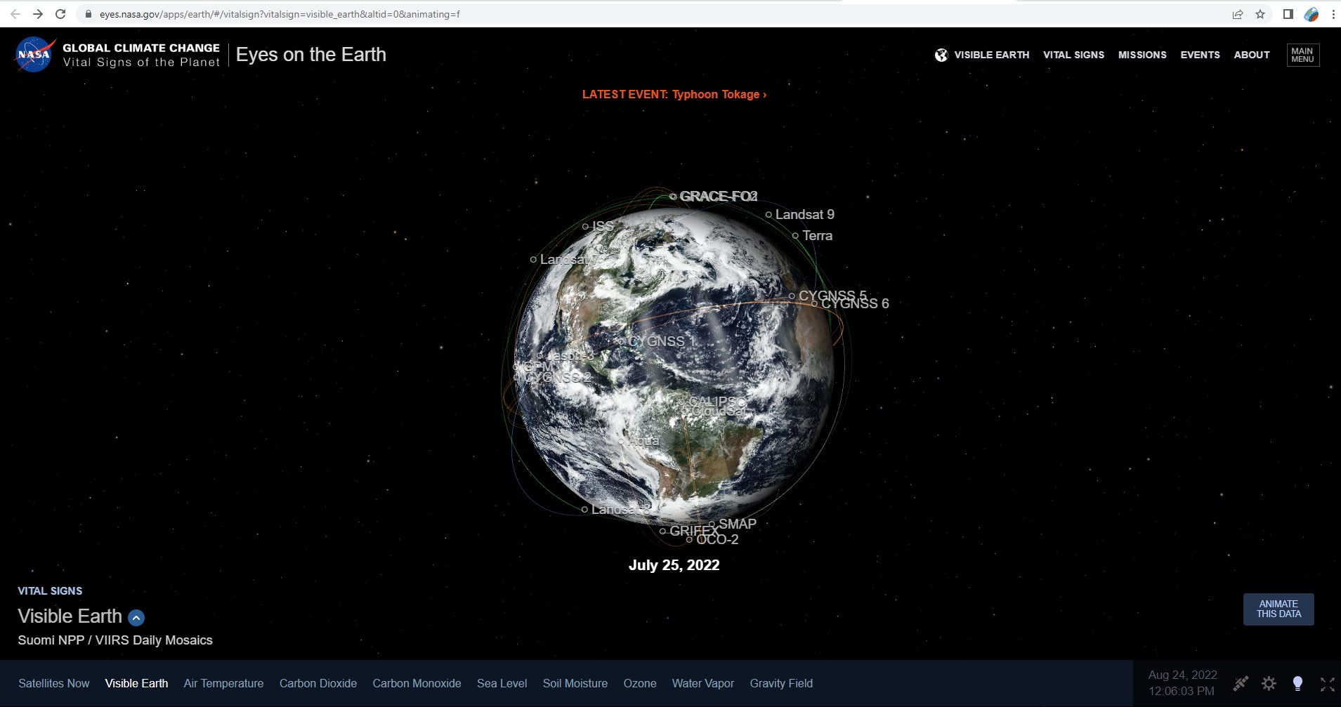
Eyes on the Earth
Access the Visible Earth website, Eyes on the Earth. Place your cursor on the globe and drag it around to see different angles of Earth. Notice how the positions and movement of satellites are traced around Earth. Try some of the active links to see how the image changes, then follow the specific directions and answer the questions.
Steps:
- Check with your instructor on how to submit your answers.
- Click on the blue up arrow in the lower left corner, next to the label “Visible Earth”. Read the information box. If the larger title doesn’t say Visible Earth, click on the term Visible Earth just below the label next to the blue up arrow, to switch.
- What is Visible Earth?
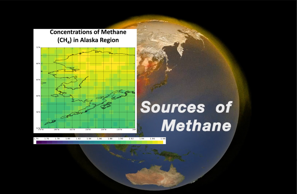
- Find and click on the Aura satellite. After the picture loads, click on the blue up arrow, next to name of the satellite in the lower left of the screen, and read the information box.
- How long has Aura been in orbit?
- What does Aura observe and measure?
- Close the Aura window, click the back button. and find the ISS. Click on the ISS. Open the information box.
- How long has the ISS been in orbit?
- What does ISS stand for?
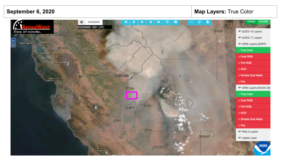
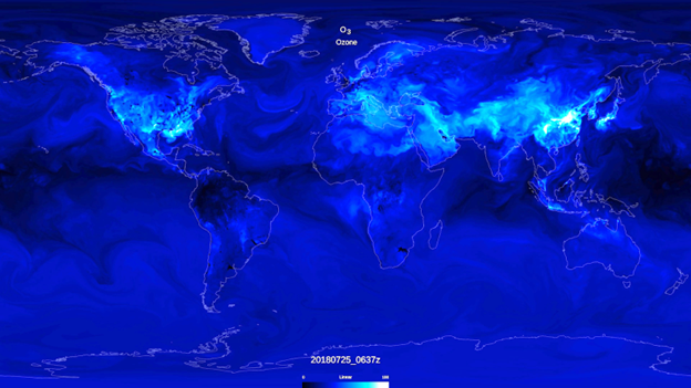
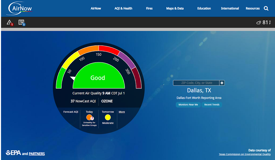
- Close the ISS window and click the back button. On the menu tabs at the bottom of the screen, find and select ozone.
- What colors do you see?
- What color indicates the highest value on the model that you can see (not the color scale itself)?
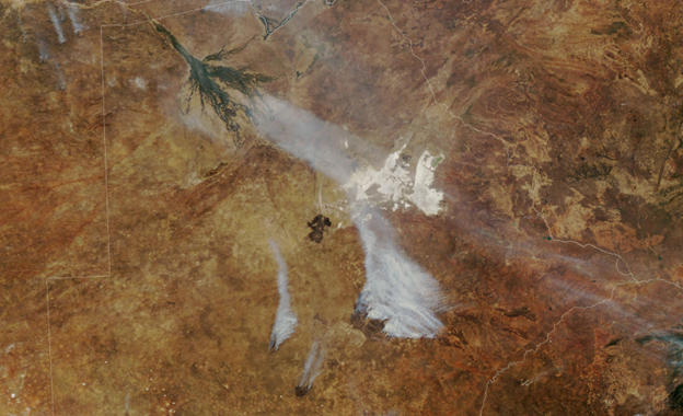
- In the upper right, find the Events tab and click on it. Select any event. Use the blue arrow to learn more about the event.
- What is the date of the view?
- What and where is the event?
- What satellite collected this image or data?
- Identify some differences between the satellite missions.
Disciplinary Core Ideas:
- ESS3C: Human Impacts on Earth Systems
Crosscutting Concepts:
- Patterns
- Systems and System Models
- Interdependence of Science, Engineering, and Technology
Science and Engineering Practices:
- Obtaining, Evaluating and Communicating Information
Students learn to use an online tool that displays different satellites in 3D and how each one is specifically-used to study air quality.
- Internet Required
- One-to-One (tablet, laptop, or CPU)