The activities in this guide will help students understand variations in environmental parameters by examining connections among different phenomena measured on local, regional and global scales.
List of all Geosphere Lesson Plans


Students will practice the process of making claims, collecting evidence to support claims, and applying scientific reasoning to connect evidence to claims.
Examine (daytime) surface temperature and solar radiation received at locations found near similar latitudes using NASA Data.
Students review Earth System phenomena that are affected by soil moisture. They analyze and evaluate maps of seasonal global surface air temperature and soil moisture data from NASA satellites. Building from their observations, students will select a location in the U.S.
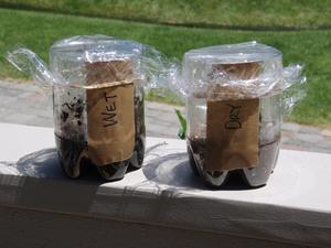
In this activity, students investigate three different soil samples with varying moisture content. They use a soil moisture probe to determine the percentage (by volume) of water in each of the soil samples.
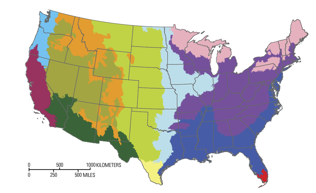
The purpose of this activity is for students to create a desktop soil profile based on the biome region of the United States where your school is located.
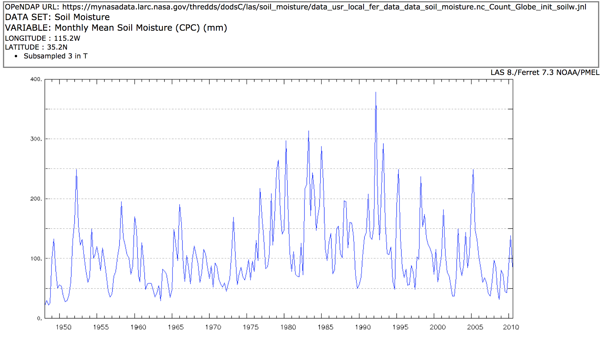
In this activity, students explore three indicators of drought are: soil moisture, lack of precipitation, and decreased streamflows. Students investigate each of these parameters develop a sense for the effects of drought on land.
Use the Data Literacy Cube to guide students’ exploration of data to enrich their observations and inferences. This is a flexible resource that may be used with a variety of graphical representations of data. This activity requires a graph for students to evaluate. Fo
NASA visualizers take data – numbers, codes – and turn them into animations people can see and quickly understand.
Students are introduced to the Earthrise phenomenon by seeing the Earth as the Apollo 8 astronauts viewed our home planet for the first time from the Moon. They will analyze a time series of mapped plots of Earth science variables that NASA monitors to better understand the Earth


