
Grade Level: 6-8
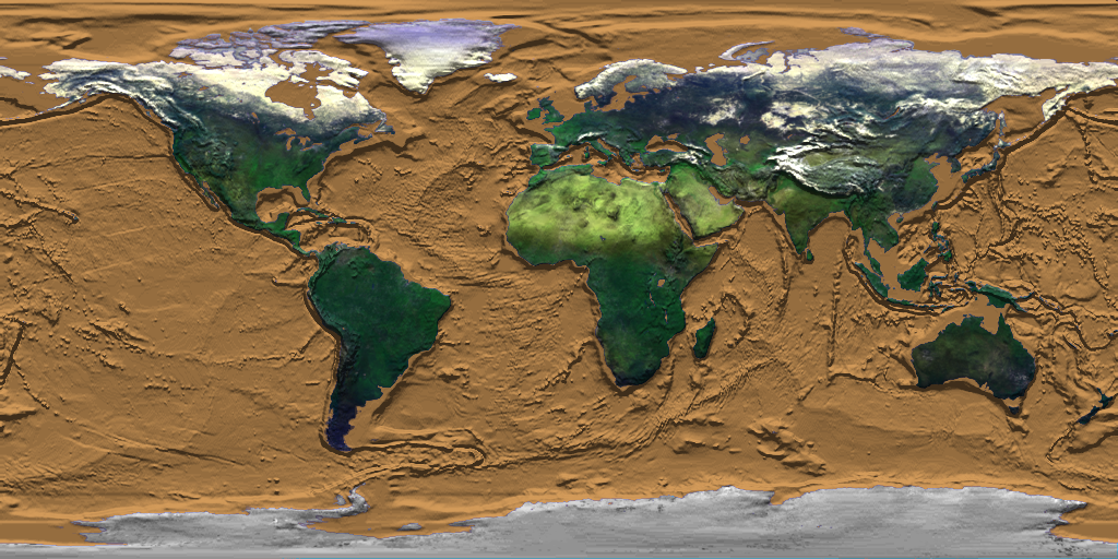
This USGS activity leads students to an understanding of what remote sensing means and how researchers use it to study changes to the Earth’s surface, such as deforestation.
Select a Sphere:


This USGS activity leads students to an understanding of what remote sensing means and how researchers use it to study changes to the Earth’s surface, such as deforestation.
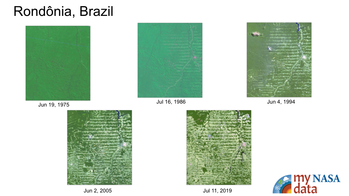
The purpose of this activity is to have students use an Earth Systems perspective to identify the various causes associated with changes to Earth's forests as they review Landsat imagery of site locations from around the world.
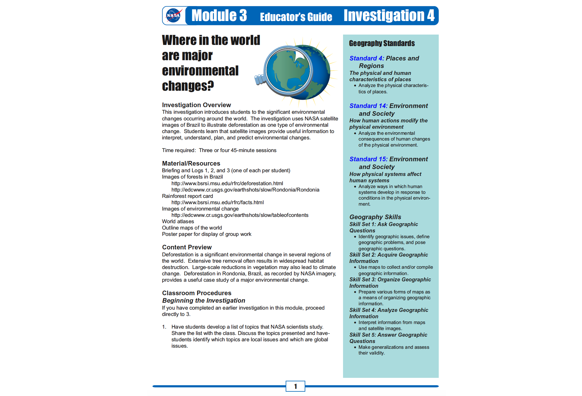
This investigation introduces students to the significant environmental changes occurring around the world. The investigation uses NASA satellite images of Brazil to illustrate deforestation as one type of environmental change.
This activity was developed by NASA's Global Precipitation Measurement (GPM) team as an introductory experience to a series of lessons about water resources on Earth.
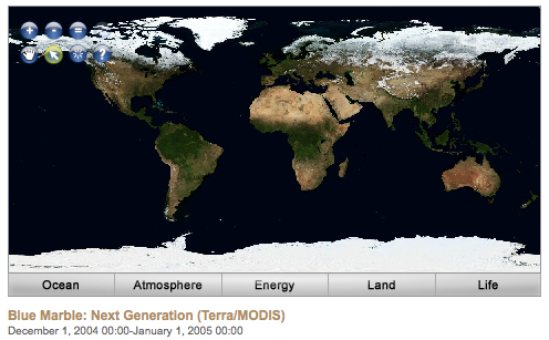
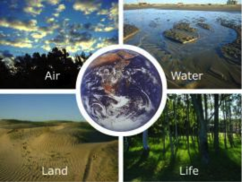
Air, Water, Land, & Life: A Global Perspective
Students model Earth's tectonic plate movement and explore the relationship between these movements and different types of volcanoes.
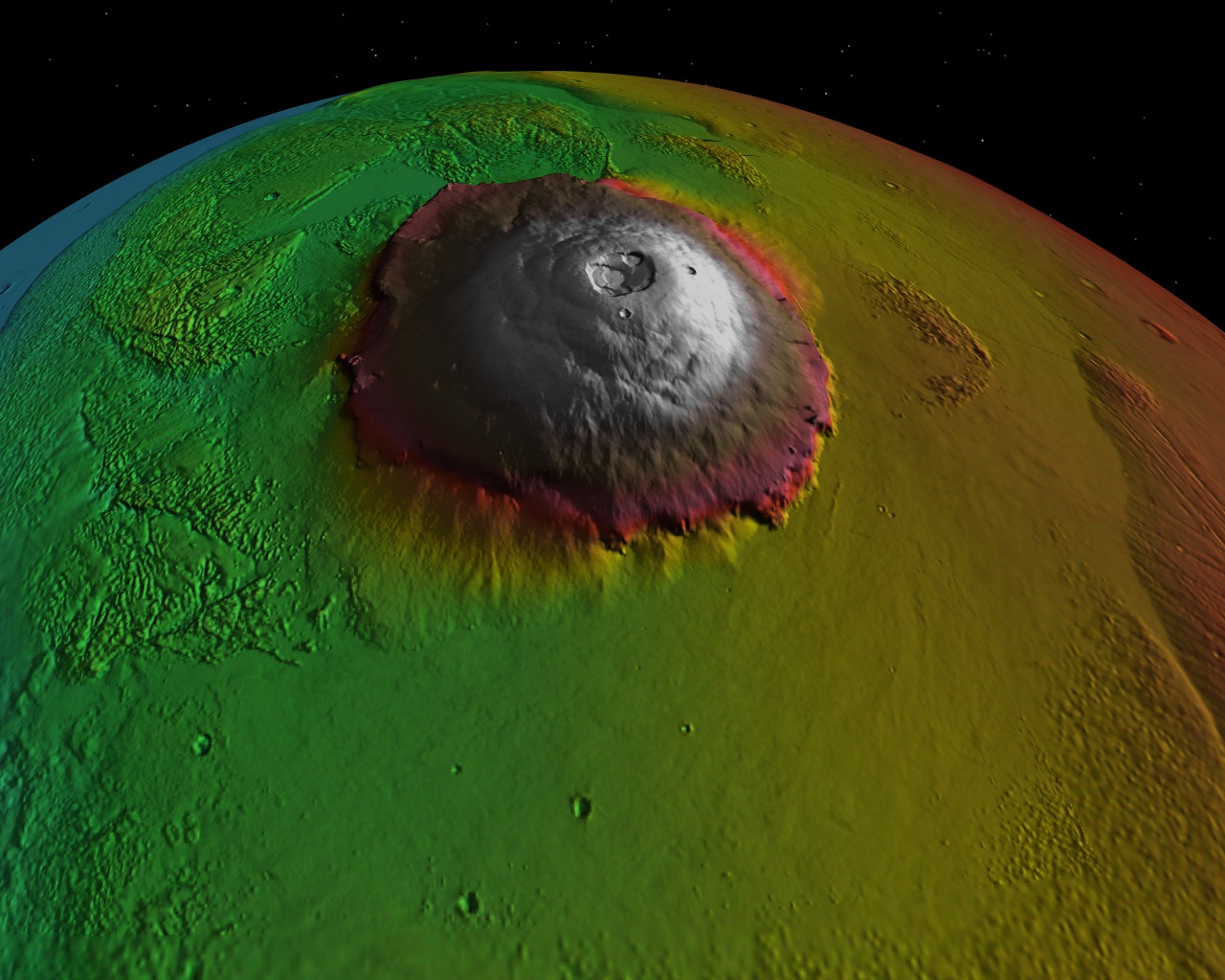
In this NASA-JPL lesson, students create a model of a volcano, produce and record lava flows, and interpret geologic history through volcano formation and excavation.
To investigate the different rates of heating and cooling of certain materials on earth in order to understand the heating dynamics that take place in the Earth’s atmosphere.
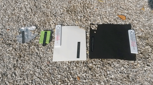
In this activity, students explore the Urban Heat Island Effect phenomenon by collecting temperatures of different materials with respect to their locations.
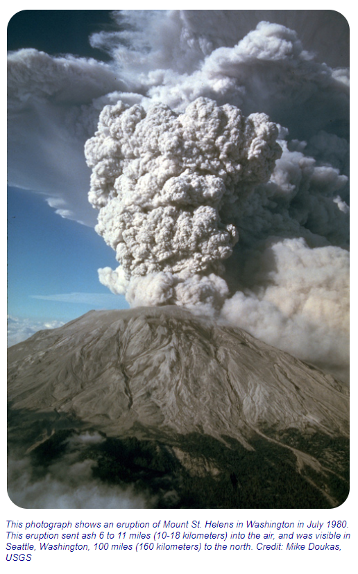
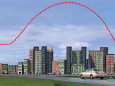
Students categorize causes, effects, and responses to volcanic hazards through an Earth system perspective. They use remotely sensed images to examine the visible effects of the eruption of Mount St. Helens in 1980 and identify a buffer zone for safer locations for development.
These NASA lessons support Next Generation Science Standards (NGSS) and three dimensional learning of the Earth System. These include activities where students interact with NASA maps, graphs, and datasets from the atmosphere, biosphere, cryosphere, geosphere, hydrosphere and the earth system.

