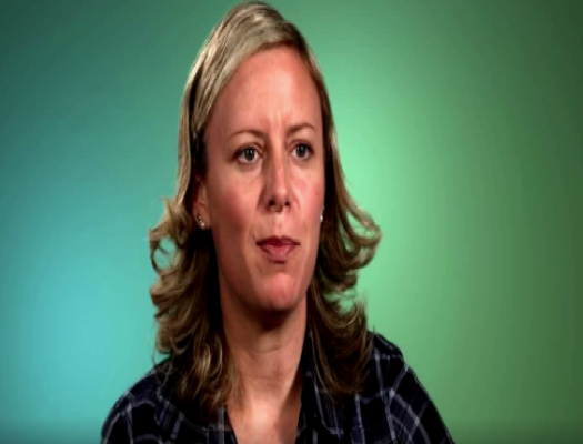
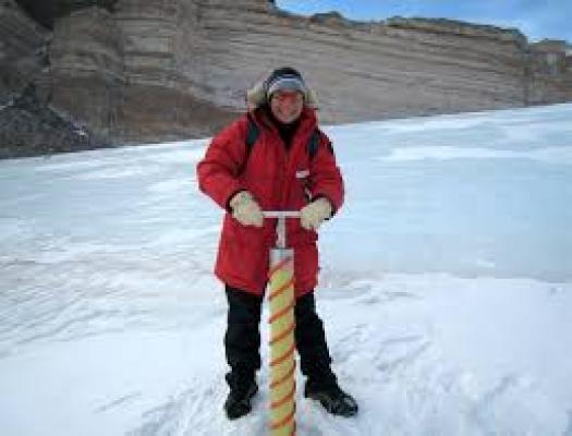
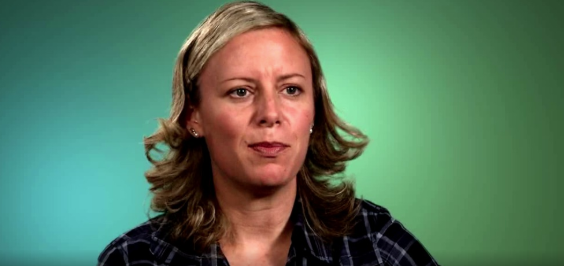
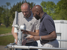
Christy Hansen is the project manager on an airborne campaign for Earth science called Operation IceBridge. IceBridge teams are all over the country.
loading Cryosphere...
Featured STEM Career Connections
Glaciology is the study of snow and ice. A glaciologist is one who studies and analyzes the movement and physical properties of glaciers and ice. Glaciologists research characteristics of the Cryosphere that include formation, movement, and effects of other parts of the Earth System.
LIDAR Remote Sensing Technologists uses remote sensing strategies to analyze data to solve problems in areas across the globe. They use LIDAR - Light Detection and Ranging - as a method of remote sensing to examine the surface of the Earth.
Civil engineers design, develop, and construct community projects that serve the general public such as roads, bridges, damns, tunnels, water supply systems, etc. The designs include but are not limited to many fields such as hydraulics, thermodynamics, or nuclear physics.
Mathematical modelers use mathematics to create models that demonstrate complex processes or solve problems. Many mathematical modelers use their skills to create and animate 3D representations of their processes with the assistance of software technology.
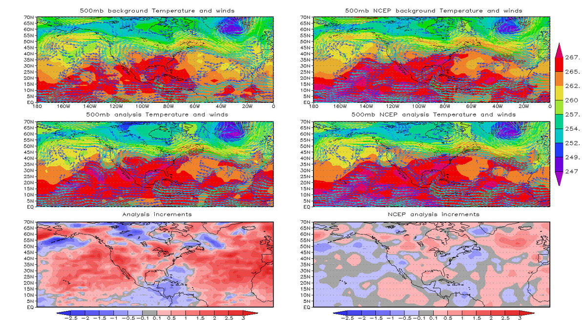
Atmospheric scientists study the weather and climate and examine how those conditions affect human activity and the earth in general. Most atmospheric scientists work indoors in weather stations, offices, or laboratories.
Geospatial Information Scientists and Technologists research geospatial data or develop geospatial technologies.
Mechanical engineers design, develop, build, and test mechanical and thermal sensors and devices including tools, engines, and machines.
This video addresses the following question: "We know that science is very much an iterative process. Can you describe for us your process for developing your follow-up questions after you have interpreted a set of data?"
Remote sensing scientists use sensors to analyze data and solve regional, national and global concerns. For instance, natural resource management, urban planning, and climate and weather prediction are applications of remote sensing.


