Mini Lesson/Activity
Earth's Heating Imbalances
Overview
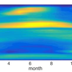
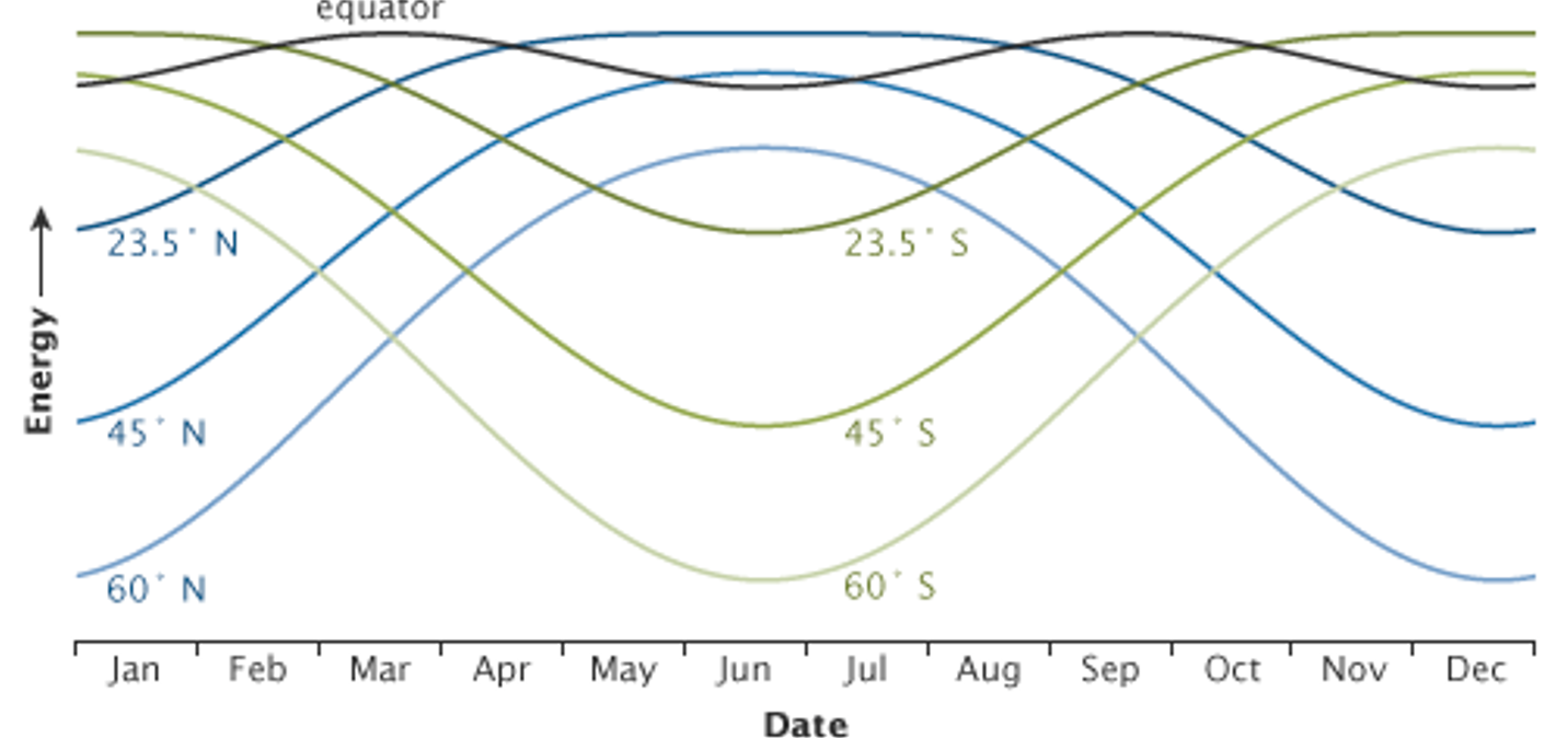
Students will analyze a graph showing the amounts of peak energy received at local noon each day over the year changes with different latitudes.
Student Directions
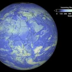
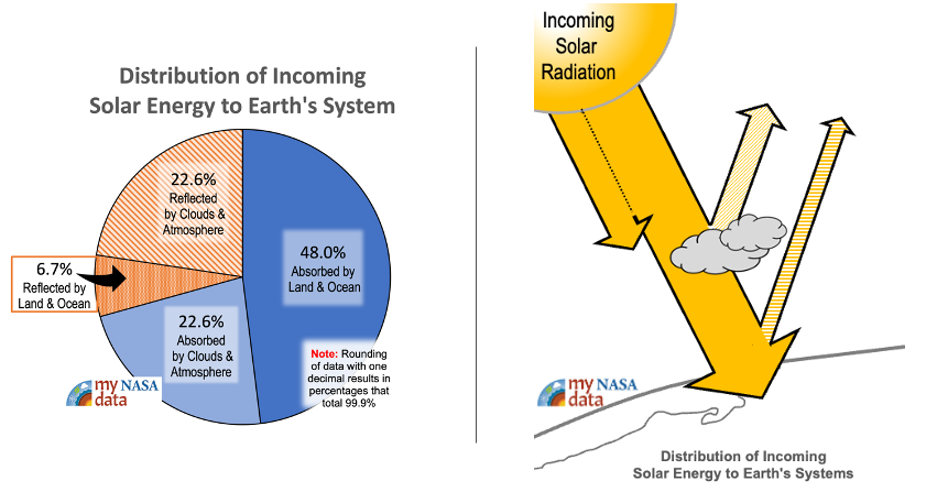
The Earth’s climate is a solar powered system. Globally, over the course of the year, the Earth system—land surfaces, oceans, and atmosphere—absorbs an average of about 240 watts of solar power per square meter (one watt is one joule of energy every second). The absorbed sunlight drives photosynthesis, fuels evaporation, melts snow and ice, and warms the Earth system.
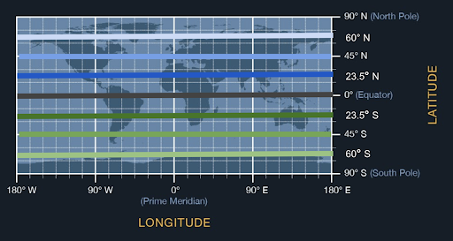
The peak energy received at different latitudes changes throughout the year. Locate the degrees latitude on the map. Find their corresponding values on the graph. The graph shows how the solar energy received at local noon each day of the year changes with latitude.
Steps:
- Check with your instructor on how to submit your answers.
- Analyze the graph.
- Describe the energy received at the Equator.
- How does it change over the year?
- What do the blue lines (23.5 degrees N, 45 degrees N, 60 degrees N) represent?
- What do the green lines (23.5 degrees S, 45 degrees S, 60 degrees S) represent?
- Describe the relationship among the blue and green lines and the cause of these values/patterns.
Sources:
Lindsey, R. (2009, January 14). Climate and Earth's Energy Budget. NASA Earth Observatory. Retrieved October 25, 2022, from https://earthobservatory.nasa.gov/features/EnergyBalance
Teacher Note
Teachers, these mini lessons/student activities are perfect "warm up" tasks that can be used as a hook, bell ringer, exit slip, etc. They take less than a class period to complete. Learn more on the "My NASA Data What are Mini Lessons?" page.
Teachers who are interested in receiving the answer key, please complete the Teacher Key Request and Verification Form. We verify that requestors are teachers prior to sending access to the answer keys as we’ve had many students try to pass as teachers to gain access.
Disciplinary Core Ideas:
- PS4B: Electromagnetic Radiation
- ESS2A: Earth Materials and Systems
- ESS2D: Weather and Climate
Crosscutting Concepts:
- Patterns
- Scale, Proportion, and Quantity
- Systems and System Models
Science and Engineering Practices:
- Developing and Using Models
- Analyzing and Interpreting Data

