This content has been moved. You can find it under Sea Ice and the Earth System Story Map link.
loading Cryosphere...
Featured Lesson Plans
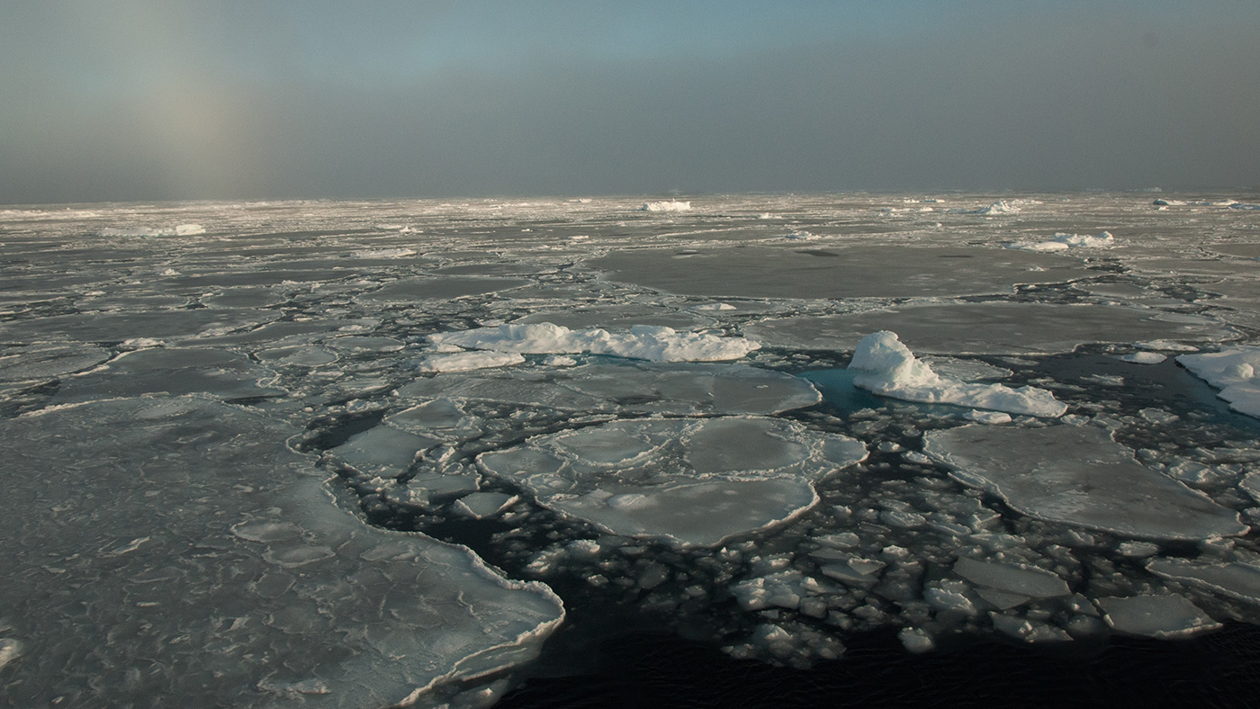
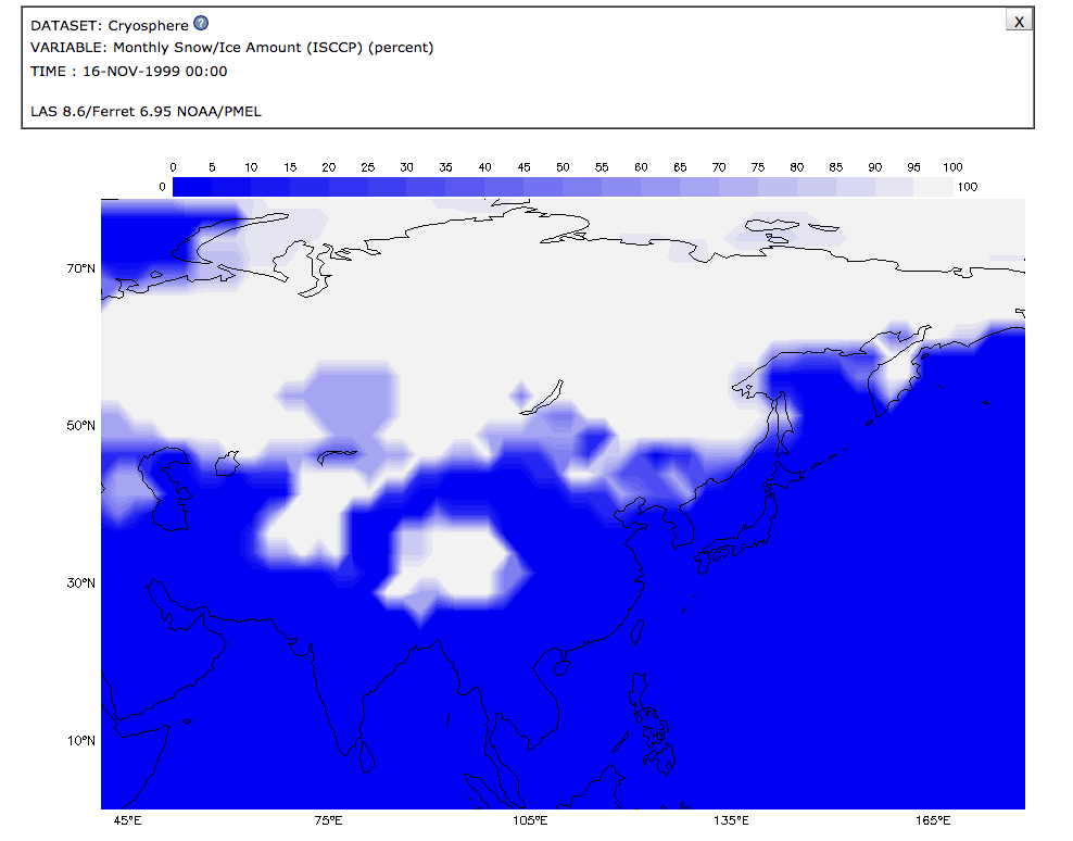
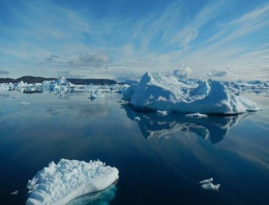
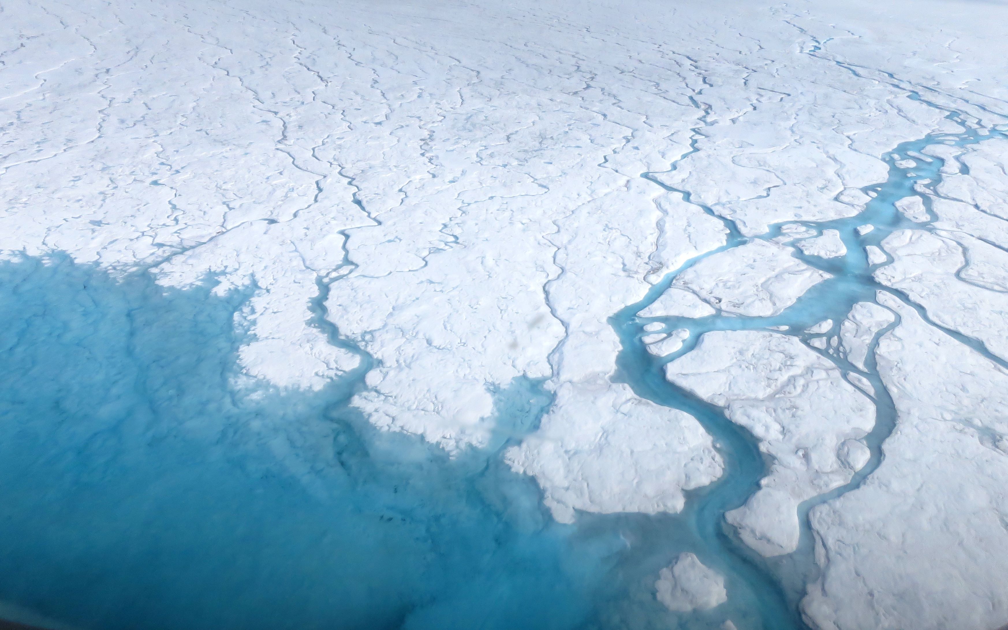
This activity invites students to model and observe the effect of melting ice sheets (from land) on sea level and the difference between the effect of melting sea-ice to that of melting land ice on sea level.
This activity invites students to simulate and observe the different effects on sea level from melting sea-ice.
Check out this the Arctic and Earth SIGNs video to explore how climate models are used in climate change research.
In this lesson, Observing Earth’s Seasonal Changes, students observe patterns of average snow and ice amounts as they change from one month to another, as well as connect the concepts of the tilt and orbit of the Earth (causing the changing of seasons) with monthly snow/ice data from January 2008
Use the Data Literacy Cubes to guide students’ exploration of data to enrich their observations and inferences. This is a flexible resource that may be used with a variety of graphical representations of data. This activity requires a graph for students to evaluate.
In this activity, students use satellite images from the NASA Landsat team to quantify changes in glacier cover over time from 1986 to 2018.
This activity is one of a series in the collection, The Potential Consequences of Climate Variability and Change activities.