Grade Level: 6-8,
9-12
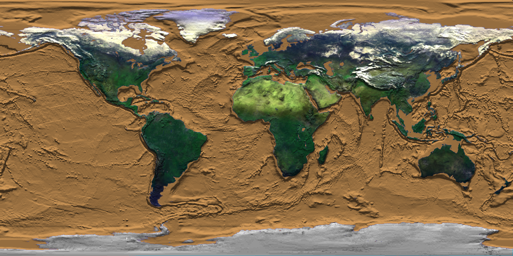
Students model Earth's tectonic plate movement and explore the relationship between these movements and different types of volcanoes.
Volcanoes are windows into the interior of the Earth. Through subtle changes and dramatic explosions, they intrigue scientists and often strike fear into societies. Lava flows, pyroclastic flows, and lahars pose great risk to those living in the proximity of a volcano, while large explosive eruptions can affect the entire planet by filling the atmosphere with ash and sulfate particles thereby modify the global climate.


Students model Earth's tectonic plate movement and explore the relationship between these movements and different types of volcanoes.
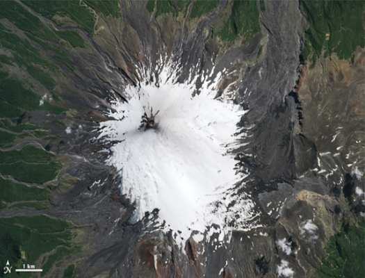
Students use scale to determine the area of volcanic deposits following the March 3, 2015 eruption of Chile's Mount Villarrica stratovolcano, one of the country's most active volcanoes.
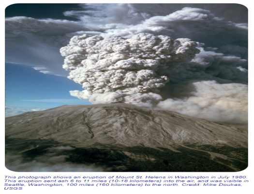
Students categorize causes, effects, and responses to volcanic hazards through an Earth system perspective. They use remotely sensed images to examine the visible effects of the eruption of Mount St. Helens in 1980 and identify a buffer zone for safer locations for development.

In this NASA-JPL lesson, students create a model of a volcano, produce and record lava flows, and interpret geologic history through volcano formation and excavation.


Use the Earth System Data Explorer to analyze data and make a claim about which 2018 eruption was larger, Kilauea, HI or Ambae Island, Vanuatu.
Students model Earth's tectonic plate movement and explore the relationship between these movements and different types of volcanoes.
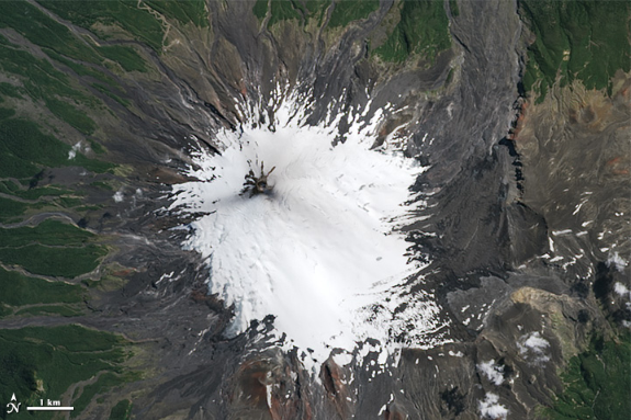
Students use scale to determine the area of volcanic deposits following the March 3, 2015 eruption of Chile's Mount Villarrica stratovolcano, one of the country's most active volcanoes.

Students categorize causes, effects, and responses to volcanic hazards through an Earth system perspective. They use remotely sensed images to examine the visible effects of the eruption of Mount St. Helens in 1980 and identify a buffer zone for safer locations for development.
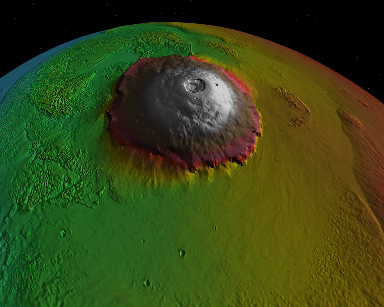
In this NASA-JPL lesson, students create a model of a volcano, produce and record lava flows, and interpret geologic history through volcano formation and excavation.

Use the Earth System Data Explorer to analyze data and make a claim about which 2018 eruption was larger, Kilauea, HI or Ambae Island, Vanuatu.