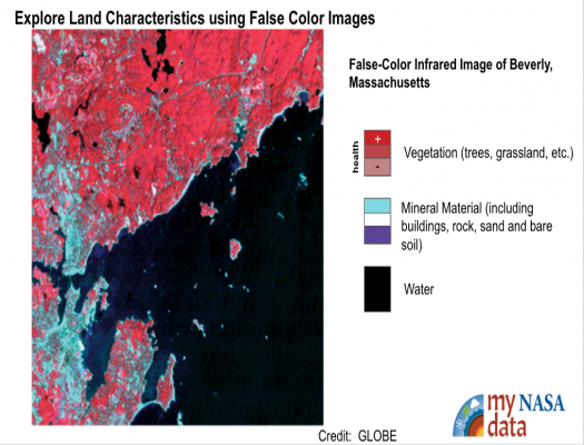
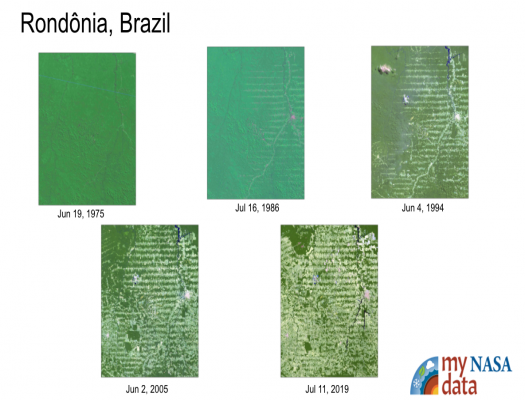
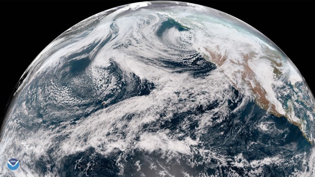
The Earth System Satellite Images, along with the Data Literacy Cubes, help the learner visualize how different Earth system variables change over time, establish cause and effect relationships, identify patterns, and determine relationships among variables.
loading Geosphere...
Featured Lesson Plans
The Earth System Satellite Images, along with the Data Literacy Cubes, helps the learner identify patterns in a specific image.
The Earth System Satellite Images, help the learner visualize how different Earth system variables change over time, establish cause and effect relationships for a specific variable, identify patterns, and determine relationships among variables over one year.
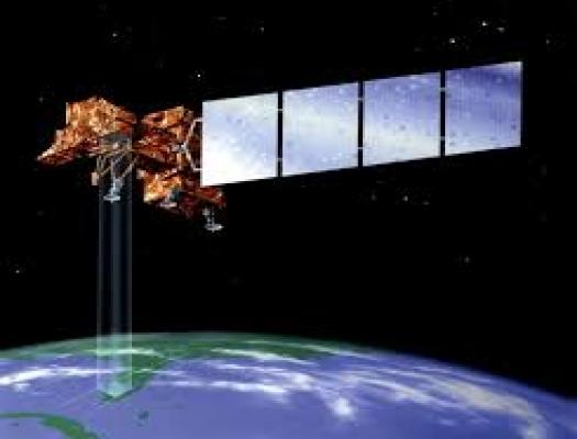
Students visit a NASA Website called "Eyes on the Earth" to view satellite missions in 3D circling the Earth and learn to navigate to specific satellites to learn about their capability of analyzing our changing planet and air quality.
Students collect and analyze temperature data to explore what governs how much energy is reflected.
This lesson, "Awenasa Goes to Camp!," is a data analysis activity that presents maps of NASA Earth satellite data for a variety of locations across the United States for four unidentified months throughout the year. Each location represents a real science camp th
Learners follow adventurous camper, Awenasa, as she travels the United States and attends various camp locations throughout the year. Learners analyze data to find her location among the various campsites using monthly averaged NASA satellite data (Cloud Coverage, Surface (S
This unit plan is published by the NASA Climate Change Research Initiative's (CCRI) Applied Research STEM Curriculum Portfolio. The CCRI Unit Plan, called “Urban Surface Temperatures and the Urban Heat Island Effects,“ has the purpose to educate students how climate is changi


