color geosphere icon
Just one moment,
loading Geosphere...

Featured Lesson Plans

Grade Level: 6-8, 9-12

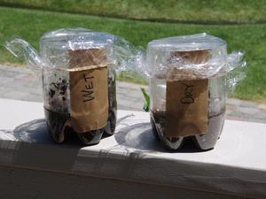
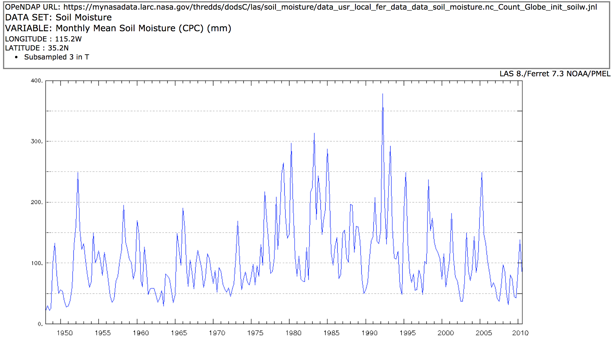
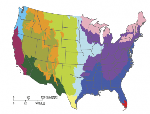
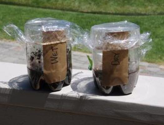
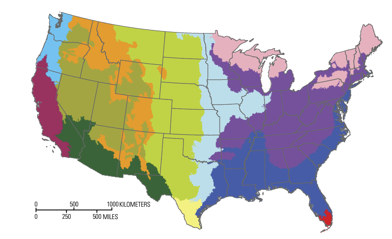
Students review Earth System phenomena that are affected by soil moisture.  They analyze and evaluate maps of seasonal global surface air temperature and soil moisture data from NASA satellites. Building from their observations, students will select a location in the U.S.

Grade Level: 3-5, 6-8

Use the Data Literacy Cube to guide students’ exploration of data to enrich their observations and inferences.  This is a flexible resource that may be used with a variety of graphical representations of data.  This activity requires a graph for students to evaluate.   Fo

Grade Level: 3-5, 6-8

In this activity, students investigate three different soil samples with varying moisture content. They use a soil moisture probe to determine the percentage (by volume) of water in each of the soil samples.

Grade Level: 3-5, 6-8

The purpose of this activity is for students to create a desktop soil profile based on the biome region of the United States where your school is located.

Grade Level: 3-5, 6-8, 9-12

The Earth System Satellite Images, along with the Data Literacy Cubes, helps the learner identify patterns in a specific image.