STEM Career Connections
TECHNOLOGY: Remote Sensing Specialist
Work Description
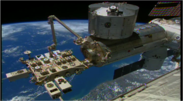
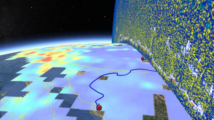
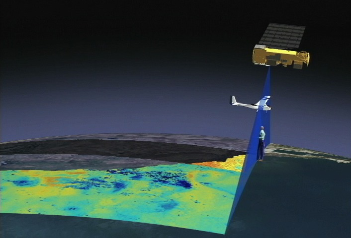
Remote sensing scientists use sensors to analyze data and solve regional, national and global concerns. For instance, natural resource management, urban planning, and climate and weather prediction are applications of remote sensing. Many scientists develop new sensor systems, analytical techniques, or new applications for existing systems. They also work to develop and build databases for remote sensing or geospatial; meaning relating to or denoting data that is associated with a particular location, project information. Remote sensing scientists also process aerial or satellite imagery to create products like land cover maps.
Why is this job Important?
Geospatial technology is a critical tool for understanding our planet. It allows satellites to measure phenomena like weather patterns or soil moisture, enabling scientists to help predict hurricanes or droughts--and thereby help save millions of lives.
Education
Remote sensing specialist has a bachelor's degree in environmental biology, geospatial intelligence analytics, geospatial science, and environmental chemistry degrees. Continuing higher education is highly recommended. A masters program in remote sensing or other geospatial technologies is suggested.
Related Fields
NASA Connections
NASA Job Title Examples:
- Research Scientist
- Data visualizer
- Geographer
- Cartographer
NASA Career Links:
NASA Professional Profile
Visit James Smith: Modeling Earth’s Biosphere Profile