STEM Career Connections
TECHNOLOGY: Geospatial Information Scientists and Technologists
Work Description
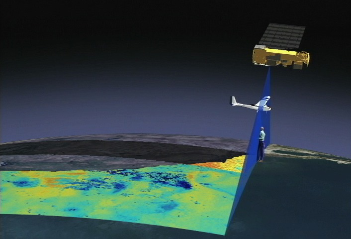
Geospatial Information Scientists and Technologists research geospatial data or develop geospatial technologies. Geospatial data is data that has a geographic component associated with it, such as coordinates or an address, and geospatial technologies are the technologies used to collect and analyze geospatial data. These scientists and technologists prepare and analyze geospatial data, program computer software, and conduct research using geospatial analysis techniques such as Geographic Information Systems (GIS).
Education
Geospatial Information Scientists and Technologists need a bachelor’s degree, minimum.
Related Fields
- Remote sensing
- Cartography
NASA Connections
Job Title NASA Examples:
- Research Scientist
- Data visualizer
- Geographer
- Cartographer
NASA Career Links: