Interactive Models
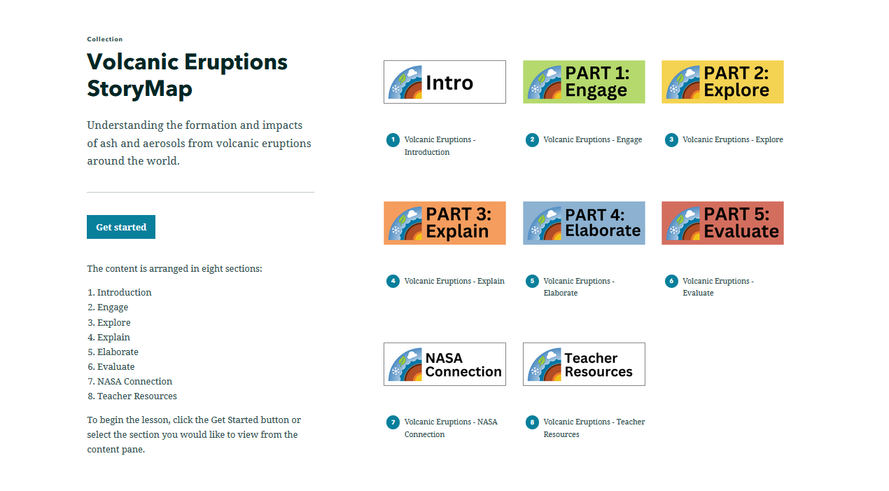
Volcanic Eruptions StoryMap
Overview
By using the various visualizations (i.e., images, charts, and graphs) in this StoryMap, students will explore volcanic eruptions featuring volcano and aerosols data. Throughout the lesson, students will investigate how ash and aerosols produced from volcanic eruptions are hazardous to the human ecosystem and will analyze concentrations of aerosols from a volcanic eruption over time. This StoryMap is intended to be used with students who have access to the internet in a 1:1 or 1:2 setting.
![]()
Materials Required
Resources Needed Per Student:
- Student Data Sheet or Student Data Forms (See 'Interactive Files' in panel)
- Computer/Tablet
- Internet Access
- Link to Volcanic Eruptions StoryMap
Directions
- Using an internet accessible device, students open the link to the Volcanic Eruptions StoryMap Lesson to begin their exploration of this phenomenon.
- Distribute the Volcanic Eruptions StoryMap Student Sheet. Have students navigate on their own through the Engage, Explore, Explain, Elaborate, and Evaluate tabs of the StoryMap to answer the questions and complete the activities on their student sheet.
Teacher Note
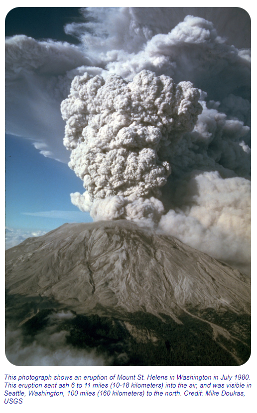
A volcano is an opening on the surface of Earth that allows material warmer than its surroundings to escape from its interior. When this material escapes, it causes an eruption. An eruption can be explosive, sending material high into the sky, or it can be calmer, with gentle flows of material. Volcanoes can be active, dormant, or extinct. Active volcanoes are volcanoes that have had recent eruptions or are expected to have eruptions in the near future. Dormant volcanoes no longer produce eruptions, but might again sometime in the future. Extinct volcanoes will likely never erupt again. Volcanoes occur when material significantly warmer than its surroundings is erupted onto the surface of a planet or moon from its interior. On Earth, the erupted material can be liquid rock ("lava" when it's on the surface, "magma" when it's underground), ash, cinders, and/or gas.
To learn more, visit:
- The Volcanic Eruptions Phenomena page for background information
Teachers who are interested in receiving the answer key, please complete the Teacher Key Request and Verification Form. We verify that requestors are teachers prior to sending access to the answer keys as we’ve had many students try to pass as teachers to gain access.
Disciplinary Core Ideas:
- ESS2A: Earth Materials and Systems
- ESS3B: Natural Hazards
Crosscutting Concepts:
- Patterns
- Systems and System Models
- Stability and Change
Science and Engineering Practices:
- Developing and Using Models
- Analyzing and Interpreting Data
- Students will analyze maps and time series data to understand changes from volcanic eruptions.
- Students will construct data-based explanations and conclusions.
- Students will compare multiple variables as they analyze aerosol data from volcanoes.
- Students will consider the impact of volcanoes on the human ecosystem.
- How do volcanoes influence changes in the atmosphere?
- How do aerosols and ash produced from volcanoes influence the human ecosystem?
- How are volcanoes formed?
National Geography Standards:
- How to use maps and other geographic representations, tools, and technologies to acquire, process, and report information from a spatial perspective.
ENGINEERING: Geotechnical Engineer
TECHNOLOGY: Geospatial Information Scientists and Technologists
- Internet Required
- One-to-One (tablet, laptop, or CPU)
- One-to-a-Group
- Visualization Tool Required
Complementary Lesson Plans


Document Resources
Interactive Files
Grade Band
- 6-8
- 9-12
Time
- 50 minutes
Visualization Tool
NGSS Three Dimensional Learning
- See drop-down menu at the bottom of the page