Interactive Models
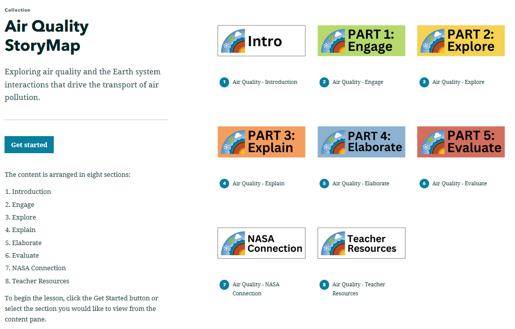
Air Quality StoryMap
Overview
In this StoryMap students will learn about what air pollution is, its environmental impact, the standards used to describe air quality as defined by the Clean Air Act, and the Earth System interactions that drive the transport of air pollution. Students will also analyze air quality index, pollutant concentration, and Nonattainment Area data to describe air quality trends over time. In the final section, students will use air quality data to make a prediction about the source of air pollution in a location.
This StoryMap is intended to be used with students who have access to the internet in a 1:1 or 1:2 setting.
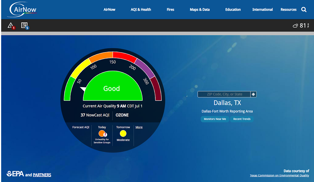
![]()
Materials Required
Resources Needed Per Student:
Resources Needed Per Group:
- Computer/Tablet
- Internet Access
- Link to the "Air Quality StoryMap"
Directions
Visit the StoryMap to access the 5 E Lesson.
Teacher Note
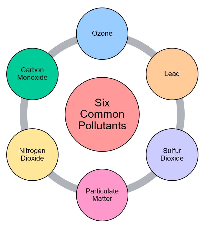
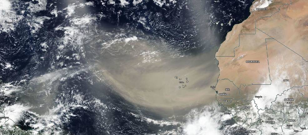
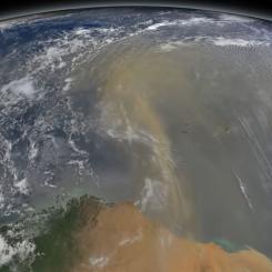
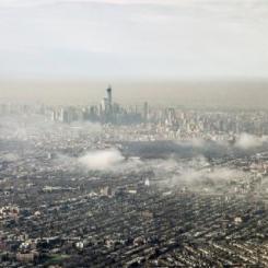
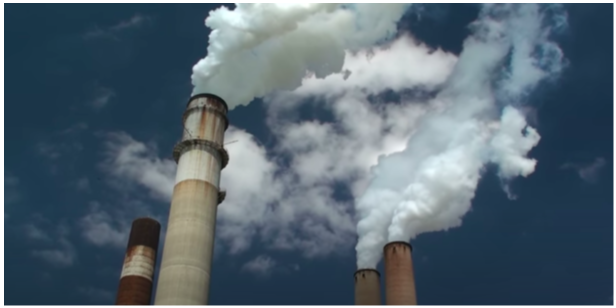
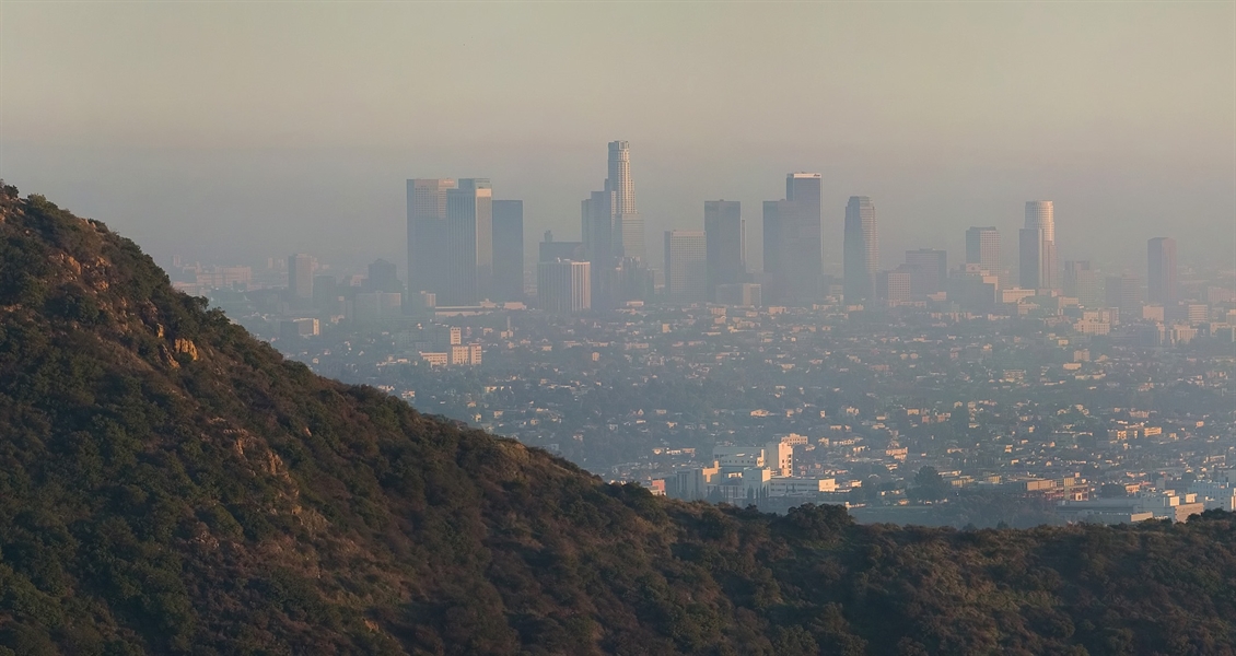
Air pollution comes from many different sources: stationary sources such as factories, power plants, and smelters; mobile sources such as cars, buses, planes, trucks, and trains; and naturally occurring sources such as windblown dust, and volcanic eruptions, all contribute to air pollution. Air Quality can be affected in many ways by the pollution emitted from these sources. These pollution sources can also emit a wide variety of pollutants.
To learn more, visit:
- The My NASA Data Air Quality Phenomena page for background information
Teachers who are interested in receiving the answer key, please complete the Teacher Key Request and Verification Form. We verify that requestors are teachers prior to sending access to the answer keys as we’ve had many students try to pass as teachers to gain access.
Disciplinary Core Ideas:
- ESS2A: Earth Materials and Systems
- ESS3A: Natural Resources
- ESS3C: Human Impacts on Earth Systems
Crosscutting Concepts:
- Systems and System Models
- Stability and Change
Science and Engineering Practices:
- Developing and Using Models
- Analyzing and Interpreting Data
- Students will identify ways in which Earth System interactions drive changes in air quality.
- Students will use evidence to describe the major long-term trends in Air Quality in the United States.
- Students will observe the effects of air quality in the Earth System.
- Students will make a prediction about the source of air pollution.
- What are the standards for monitoring air quality and why are these standards important?
- What is air pollution and how does it impact a community?
- What forces drive the transport of air pollution?
National Geography Standards:
- How to use maps and other geographic representations, tools, and technologies to acquire, process, and report information from a spatial perspective.
- Internet Required
- One-to-a-Group
Complementary Interactives
Complementary Mini Lessons


Complementary Lesson Plans


Document Resources
Interactive Files
Grade Band
- 6-8
- 9-12
Time
- > 90 minutes
Visualization Tool
NGSS Three Dimensional Learning
- See drop-down menu at the bottom of the page