


Environmental engineers use the basis of engineering, soil science, biology, and chemistry to develop solutions to problems in the environment. Some of their efforts involve recycling, waste disposal, public health, water and air pollution control.
My NASA Data (MND) offers resources to help students explore careers related to Earth Systems missions at NASA. Students may review job profiles within the four disciplines of STEM (Science, Technology, Engineering, and Mathematics) aligned with projects in the Atmosphere, Biosphere, Cryosphere, Geosphere, and Hydrosphere and learn about real NASA employees who serve in those careers. Information on work description, job significance to NASA Earth Science, salaries, educational requirements, and more are provided. Check it out!

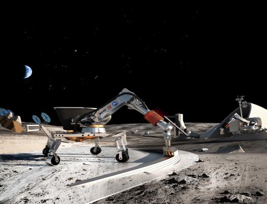
A geotechnical engineer is a type of civil engineer who focuses on the mechanics of the land, rocks, and soils in the building process.
Mathematical modelers use mathematics to create models that demonstrate complex processes or solve problems. Many mathematical modelers use their skills to create and animate 3D representations of their processes with the assistance of software technology.

Geospatial Information Scientists and Technologists research geospatial data or develop geospatial technologies.
Environmental engineers use the basis of engineering, soil science, biology, and chemistry to develop solutions to problems in the environment. Some of their efforts involve recycling, waste disposal, public health, water and air pollution control.
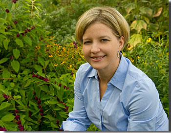
Learn about how Janine Pollack, an Environmental Engineer, got her start at NASA and the kinds of work she does as an engineer.
Botanists research plant characteristics like their physiological processes, their evolutionary history, resistance to disease, relationships to other parts of the Biosphere or sphere within the Earth System.
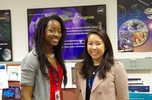
Let us introduce you to Katrina Laygo and Melissa Oguamanam from NASA’s Goddard Space Flight Center. Melissa and Katrina are the Center Leads for the DEVELOP Program’s Goddard location.
A Data Support Specialist works with the user community to understand their science needs with the goal of providing support for NASA data and information services. They represent the user in product development and development resources to assist with the user community's needs.
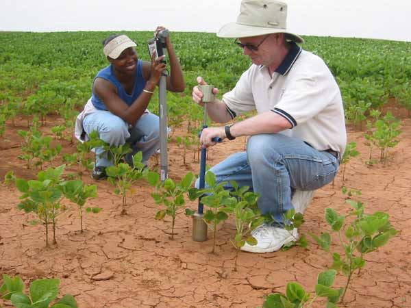
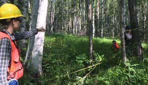
Soil scientists study the physical and chemical properties of soil. A soil scientist reviews the distribution, origin, and history of soil and plants, as well as identifying, interpreting, mapping and/or managing soils. This field is commonly applied for agricultural purposes.
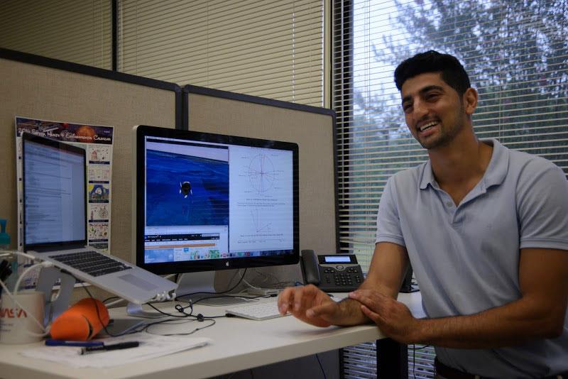
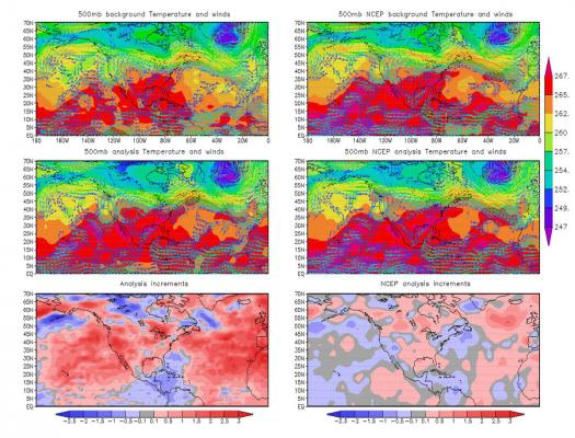
A model analyst develops models to help visualize, observe, and predict complicated data. Model analysis is the process of taking large amounts of data and separate it into a structure that makes it intelligible to the binary process of computers.
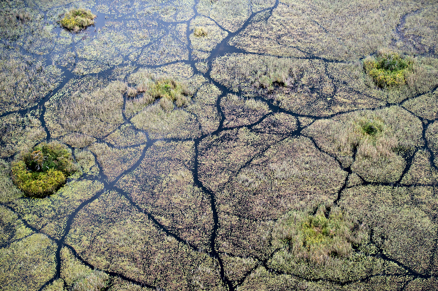
Soil Conservation Technicians collect and manage survey data for conservation, develop a plan to implement conservation actions, and supervise fieldwork. Their work starts with developing physical resource plans and documents on the history of the land.

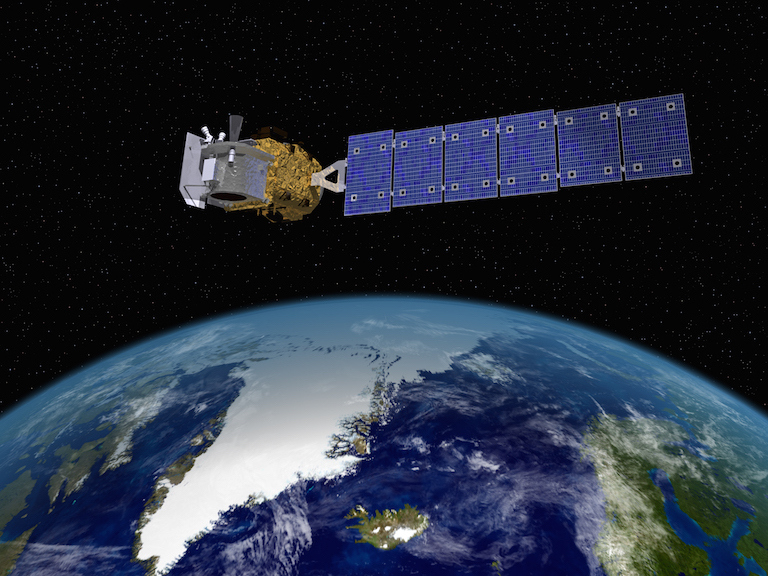
LIDAR Remote Sensing Technologists uses remote sensing strategies to analyze data to solve problems in areas across the globe. They use LIDAR - Light Detection and Ranging - as a method of remote sensing to examine the surface of the Earth.

At the core of scientific visualization is the representation of data graphically - through images, animations, and videos - to improve understanding and develop insight.
These education resources highlight the STEM workforce careers and jobs, as well as showcase the scientists, engineers, technologists/technicians, and mathematicians who make NASA Earth missions possible.