STEM Career Connections
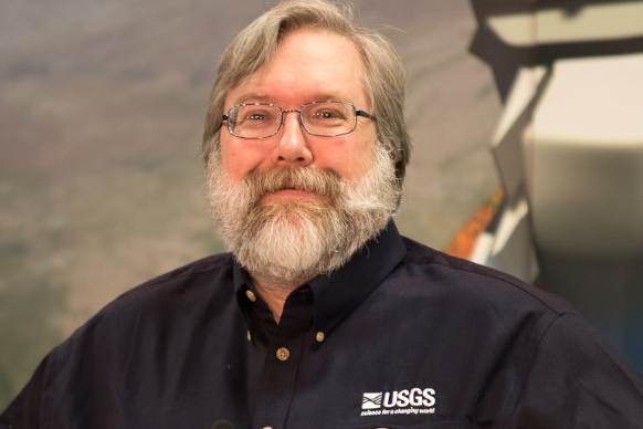
Meet Dr. Thomas Loveland, Chief Scientist
Job Title
Chief Scientist at the USGS Earth Resource Observation and Science Center and co-chair for the Landsat Science Team
Thomas Loveland
Bio
Dr. Tom Loveland is a research geographer at EROS and director of the USGS Land Cover Institute. He has been engaged in research on the use of remote sensing for land use and land cover investigations for over 25 years and has conducted studies that have spanned local to global scales. He was among the first to create continental and global-scale land cover data sets derived from remotely sensed imagery. He currently leads a USGS research team that is developing a contemporary land cover history of the United States. In addition, Dr. Loveland is leading the Landsat Continuity Mission Science Team and is a member of the NASA National Polar-orbiting Operational Environmental Satellite System (NPOESS) Preparatory Project science team. He is a member of the editorial board for the Journal of Land Use Sciences and has served in leadership roles in a number of national and international science organizations including the American Society of Photogrammetry and Remote Sensing, Climate Change Science Program, and the International Geosphere-Biosphere Programme. Dr. Loveland has published almost 90 scientific papers and has received career achievement awards from the American Society of Photogrammetry and Remote Sensing and the Association of American Geographers.
Credit: USGS
Education
Dr. Loveland has B.S. and M.S. degrees in geography from South Dakota State University and a Ph.D. in geography from the University of California, Santa Barbara.
NASA Connections
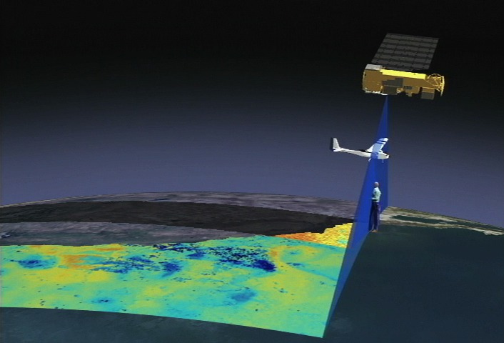
Watch Tom Loveland talk about using Landsat's data for land use and land cover change research.