Grade Level: 6-8,
9-12
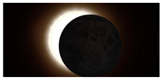
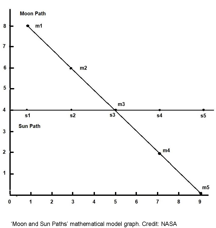
In this activity, students will model the geometry of solar eclipses by plotting a few points on a piece of graph paper, and using quarters and a nickel to represent the Sun and Moon (not to scale).