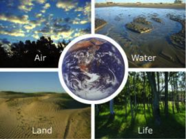
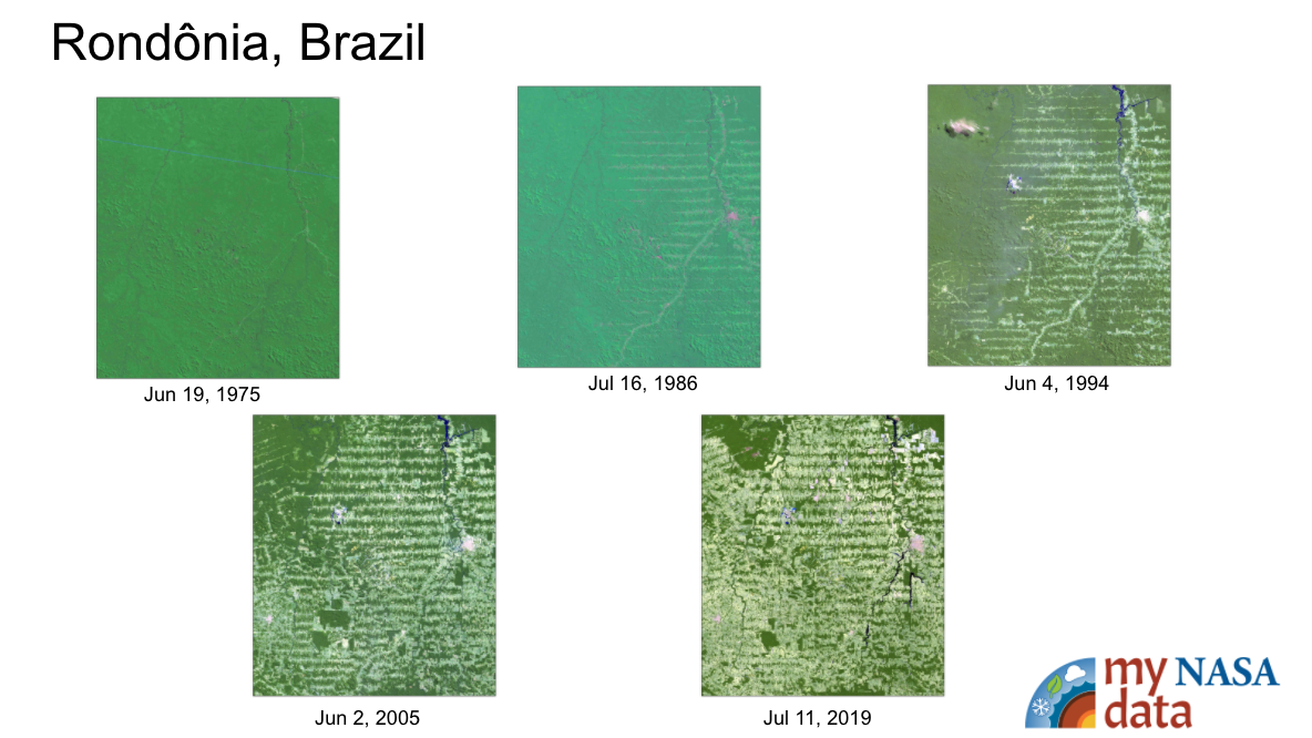
The purpose of this activity is to have students use an Earth Systems perspective to identify the various causes associated with changes to Earth's forests as they review Landsat imagery of site locations from around the world.
List of all Earth as a System Lesson Plans
This investigation introduces students to the significant environmental changes occurring around the world. The investigation uses NASA satellite images of Brazil to illustrate deforestation as one type of environmental change.
In this lesson, students will investigate the drivers of climate change, including adding carbon dioxide and other greenhouse gases to the atmosphere, sea level rise, and the effect of decreasing sea ice on temperatures.
This activity invites students to simulate and observe the different effects on sea level from melting sea-ice.
This activity invites students to model and observe the effect of melting ice sheets (from land) on sea level and the difference between the effect of melting sea-ice to that of melting land ice on sea level.
This activity was developed by NASA's Global Precipitation Measurement (GPM) team as an introductory experience to a series of lessons about water resources on Earth.
Air, Water, Land, & Life: A Global Perspective
Students will analyze and interpret maps of the average net atmospheric radiation to compare the flow of energy from the Sun toward Earth in different months and for cloudy versus clear days. Students will draw conclusions and support them with evidence.
In this activity, you will use an inexpensive spectrophotometer* to test how light at different visible wavelengths (blue, green, red) is transmitted, or absorbed, through four different colored water samples.
This lesson is taken from NASA's Phytopia: Discovery of the Marine Ecosystem written in partnership with Bigelow Laboratory for Ocean Science with funding from the National Science Foundation.