The Eyjabakkajökull Glacier is an outlet glacier of the Vatnajökull ice cap in Iceland that has been retreating since a major surge occurred in 1973. Students analyze these maps to identify the scale and rate of change of the glacier loss.
List of all Earth as a System Mini Lessons


The fires in Greece during the summer of 2007 devastated large tracks of forest and ground cover in this Mediterranean region. Students analyze these data to determine the scale, area, and percentage of the forest impacted by of these fires.
This NASA visualization shows sea surface salinity observations (September 2011-September 2014). Students review the video and answer questions.
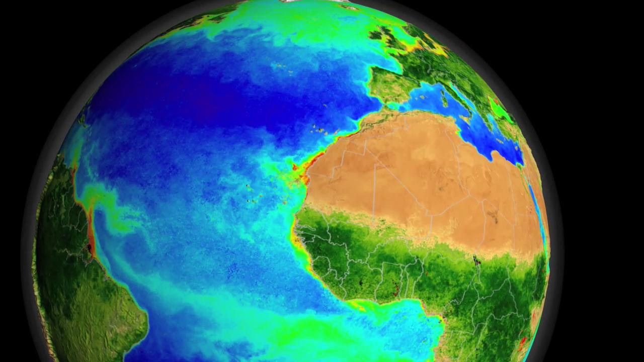
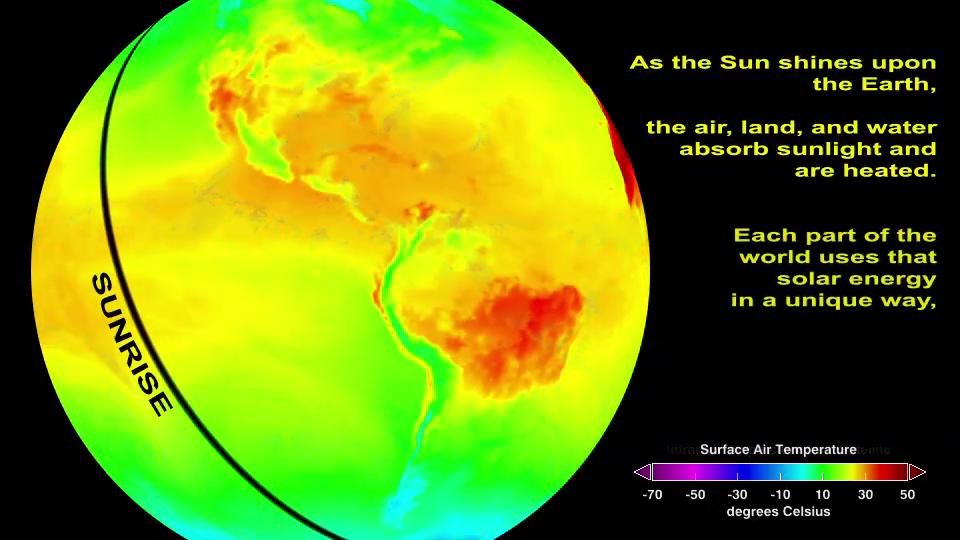
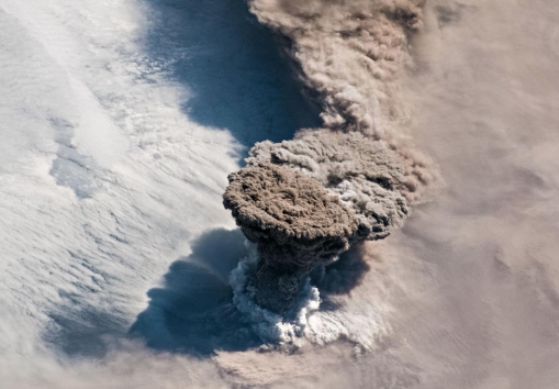
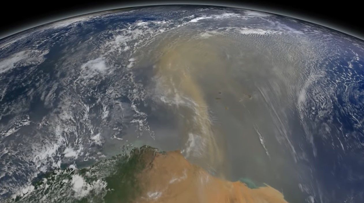
This mini lesson engages students in watching a NASA video related to accumulated dust that makes the trans-Atlantic journey from the Sahara Desert to the Amazon rainforest using NASA's CALIPSO satellite.
Students review the NASA video showing biosphere data over the North Atlantic Ocean as a time series animation displaying a decade of phytoplankton blooms and answer questions.
Students review a video showing how the ocean is warmed by solar energy. This is the first video of a four-part series on the water cycle, which follows the journey of water from the ocean to the atmosphere, to the land, and back again to the ocean.
Students review a visualization showing a global view of the top-of-atmosphere longwave radiation from January 26 and 27, 2012. They review the supporting text and analyze the data in the visualization to answer questions.
Students review a video showing a global view of the top-of-atmosphere shortwave radiation from January 26 and 27, 2012 and answer the questions that follow.
This mini lesson focuses on Earth's Energy Budget and the surface effects that occur in Central Australia. Students review a line graph depicting net radiation in Central Australia related to a multiyear drought from 2002 - 2009 and answer the questions.
This mini lesson focuses on Landsat satellite data and how it is used to detect changes in land use.