Geospatial Information Scientists and Technologists research geospatial data or develop geospatial technologies.
Data scientists work with data captured by scientific instruments or generated by a simulator, as well as data that is processed by software and stored in computer systems. They work with scientists to analyze databases and files using data management techniques and statistics.
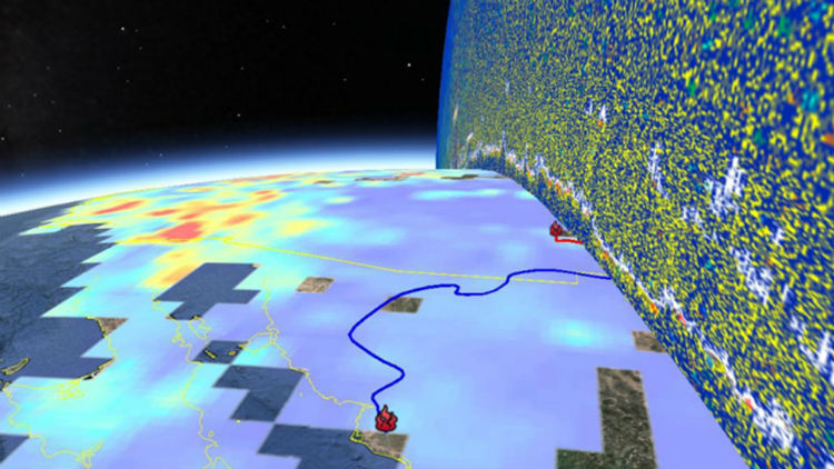
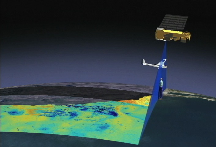
Remote sensing scientists use sensors to analyze data and solve regional, national and global concerns. For instance, natural resource management, urban planning, and climate and weather prediction are applications of remote sensing.
Mathematical modelers use mathematics to create models that demonstrate complex processes or solve problems. Many mathematical modelers use their skills to create and animate 3D representations of their processes with the assistance of software technology.
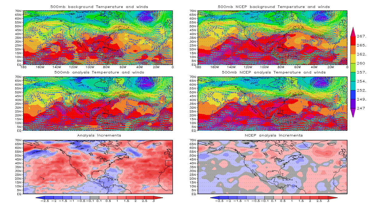
A model analyst develops models to help visualize, observe, and predict complicated data. Model analysis is the process of taking large amounts of data and separate it into a structure that makes it intelligible to the binary process of computers.
LIDAR Remote Sensing Technologists uses remote sensing strategies to analyze data to solve problems in areas across the globe. They use LIDAR - Light Detection and Ranging - as a method of remote sensing to examine the surface of the Earth.
At the core of scientific visualization is the representation of data graphically - through images, animations, and videos - to improve understanding and develop insight.
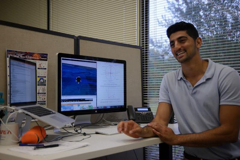
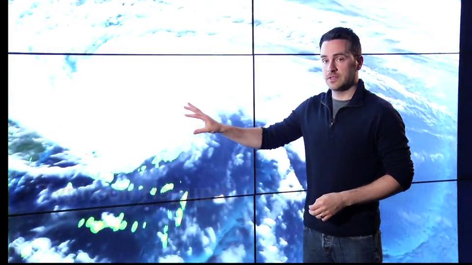
Follow along as NASA visualizer Kel Elkins walks you through three visualizations (Dust Crossing, Typhoon Hagupit, and Aquarius Sea Surface Salinity) and answers questions about his work, education, and career.
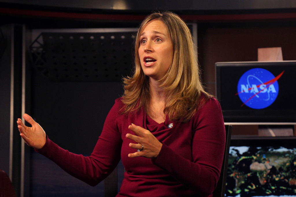
Dr. Dalia B. Kirschbaum is a Research Physical Scientist in the Hydrological Sciences Lab at NASA Goddard Space Flight Center, Greenbelt, MD. Learn how she uses mathematics to investigate the interaction between the Hydrosphere & Geosphere.


.png)
.png)
.png)
.png)
.png)
