LIDAR Remote Sensing Technologists uses remote sensing strategies to analyze data to solve problems in areas across the globe. They use LIDAR - Light Detection and Ranging - as a method of remote sensing to examine the surface of the Earth.
Select a Sphere:


.png)
.png)
.png)
.png)
.png)
LIDAR Remote Sensing Technologists uses remote sensing strategies to analyze data to solve problems in areas across the globe. They use LIDAR - Light Detection and Ranging - as a method of remote sensing to examine the surface of the Earth.
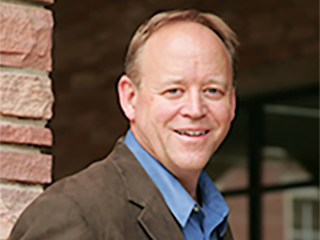
Steve Nerem is the leader of NASA’s Sea Level Change team. His project, Observation-Driven Projections of Future Regional Sea Level Change, focuses on using NASA satellite and in situ observations and climate modeling to estimate future regional sea level change.

At the core of scientific visualization is the representation of data graphically - through images, animations, and videos - to improve understanding and develop insight.
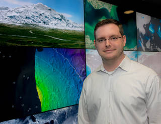


Joshua Stevens,Lead for Data Visualization for NASA Earth Observatory at NASA Goddard Space Flight Center. Learn how he translates data from NASA missions and instruments into intuitive maps, charts and graphics which meet high quality standards and are consistent with current research.
Meet Dr. Yoland Shea, Atmospheric Scientist at NASA Langley Research Center. Learn what inspired her as a child and how she became a NASA scientist!
An environmental planner tries to minimize the environmental impacts of housing, industrial, and transportation-related construction projects.
Learn more about Alexia Harper, Mechanical Engineer at NASA Goddard Space Flight Facility's Mechanical Engineering Branch, the go-to place for the comprehensive development of instrument and spacecraft structures and deployment mechanisms.
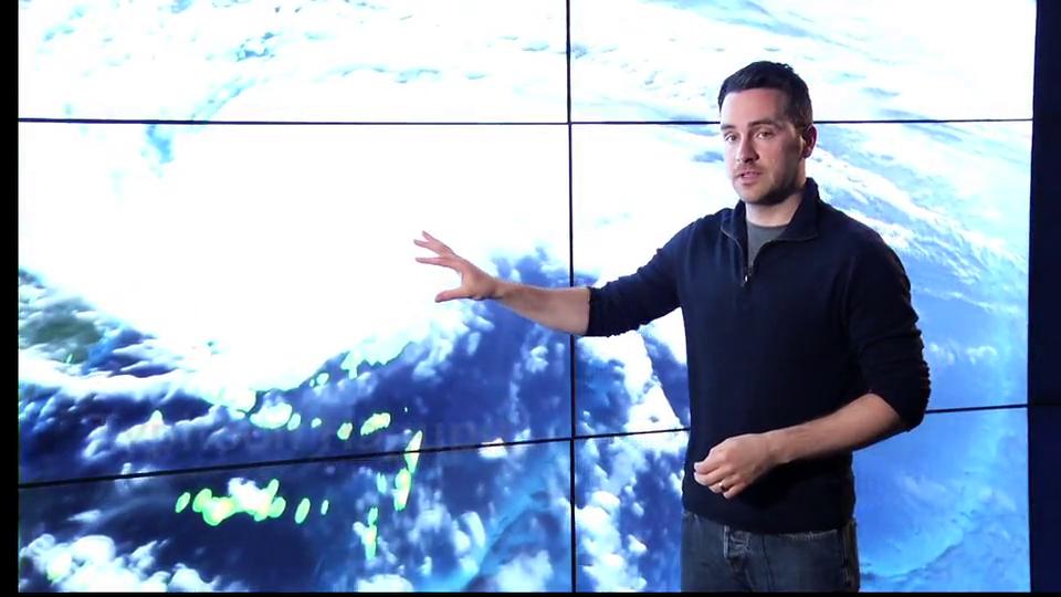
Follow along as NASA visualizer Kel Elkins walks you through three visualizations (Dust Crossing, Typhoon Hagupit, and Aquarius Sea Surface Salinity) and answers questions about his work, education, and career.
Dr. Dalia B. Kirschbaum is a Research Physical Scientist in the Hydrological Sciences Lab at NASA Goddard Space Flight Center, Greenbelt, MD. Learn how she uses mathematics to investigate the interaction between the Hydrosphere & Geosphere.
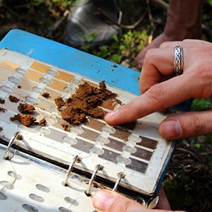
A soil biogeochemistry scientist focuses in the area of scientific applications of advanced mass spectrometry (MS) particularly to the field of natural organic matter characterization and elucidation of microbial processes.
These education resources highlight the STEM workforce careers and jobs, as well as showcase the scientists, engineers, technologists/technicians, and mathematicians who make NASA Earth missions possible.