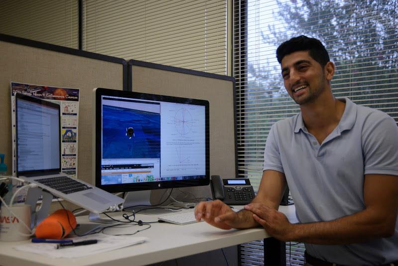
A model analyst develops models to help visualize, observe, and predict complicated data. Model analysis is the process of taking large amounts of data and separate it into a structure that makes it intelligible to the binary process of computers.
Select a Sphere:


.png)
.png)
.png)
.png)
.png)
A model analyst develops models to help visualize, observe, and predict complicated data. Model analysis is the process of taking large amounts of data and separate it into a structure that makes it intelligible to the binary process of computers.
LIDAR Remote Sensing Technologists uses remote sensing strategies to analyze data to solve problems in areas across the globe. They use LIDAR - Light Detection and Ranging - as a method of remote sensing to examine the surface of the Earth.

Steve Nerem is the leader of NASA’s Sea Level Change team. His project, Observation-Driven Projections of Future Regional Sea Level Change, focuses on using NASA satellite and in situ observations and climate modeling to estimate future regional sea level change.

At the core of scientific visualization is the representation of data graphically - through images, animations, and videos - to improve understanding and develop insight.


Joshua Stevens,Lead for Data Visualization for NASA Earth Observatory at NASA Goddard Space Flight Center. Learn how he translates data from NASA missions and instruments into intuitive maps, charts and graphics which meet high quality standards and are consistent with current research.
Check out this interview to learn more about Dr. Claire Parkinson's journey to become Senior Scientist researching Climate Change at NASA Goddard Space Flight Center.
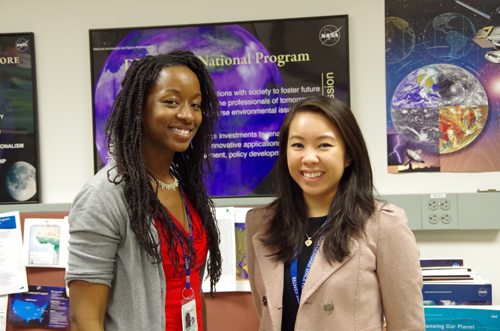
Let us introduce you to Katrina Laygo and Melissa Oguamanam from NASA’s Goddard Space Flight Center. Melissa and Katrina are the Center Leads for the DEVELOP Program’s Goddard location.

Christy Hansen is the project manager on an airborne campaign for Earth science called Operation IceBridge. IceBridge teams are all over the country.

Check out our latest installment of women in science with this interview with Shania Sanders, and learn about her journey from an intern to a computer programmer at NASA Langley Research Center.
These education resources highlight the STEM workforce careers and jobs, as well as showcase the scientists, engineers, technologists/technicians, and mathematicians who make NASA Earth missions possible.