STEM Career Connections
So, You Think You Can be a Remote Sensing Scientist
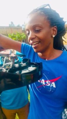
Dr. Catherine Nakalembe, Remote Sensing Scientist
STEM can help solve important real-world problems that affect people and communities. Scientists, engineers, and researchers use STEM skills to study what is happening, understand why problems exist, and find better ways to help. Sometimes this means using technology and data to carefully consider what is happening and work to prevent problems before they get worse. Other times, it means helping leaders and communities make smarter decisions that protect people, food, and the environment. In this way, STEM is about using knowledge to help others and improve the world.
Collecting Data From Far Away
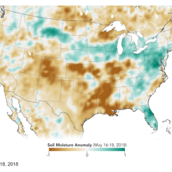
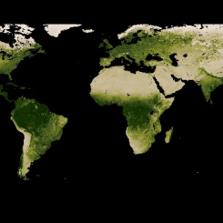
Remote sensing means studying Earth from a distance, without visiting a place or touching it directly. Scientists use satellites, cameras, and sensors high above Earth to collect information they couldn’t easily gather on the ground. These tools can photograph our planet and measure all kinds of things: how tall trees are in a faraway rainforest, how healthy plants and crops are, how much water is in the soil, and even weather patterns, and disaster events like droughts, floods, and fires.
Remote sensing is especially useful because satellites can:
- Cover very large areas at once
- Collect data often and over time
- Reach places that are hard or dangerous to visit, like active fires and volcanoes
However, remote sensing does not rely solely on satellite data. Scientists also collect ground data directly from farms, fields, weather stations, ground sensors, and people on Earth. This ground data helps scientists verify, refine, and improve what satellite data show, making the information more complete, reliable, and verifiable.
Together, satellite data (the big picture) and ground data (close-up details) help scientists understand what is really happening on Earth and make better decisions for the people and the environment.
Your Skills
Perhaps you have not considered becoming a remote sensing scientist (yet). But soon you will discover that you are already practicing skills that you will use if you decide to pursue a career in remote sensing science!
Consider if you ever practice any of the following skills:
|
Skill |
Examples |
|
Helping others. |
|
|
Noticing patterns. |
|
|
Using maps to gather useful information. |
|
|
Using data to answer questions. |
|
|
Choosing the right photo quality. |
|
|
Making predictions using evidence. |
|
|
Validate information by using multiple sources. |
|
If you have practiced any of the skills above, please know they can be very helpful for a career in remote sensing science!
Meet Dr. Catherine Nakalembe
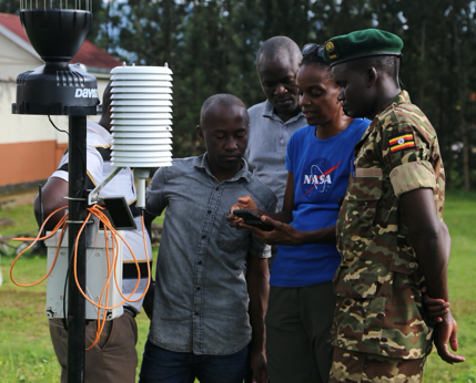
Catherine (center) going over field data collection with a local district officer (behind rain gauge); Office of the Prime Minister staff Swalehe Katoto and Emmanuel Okecho (left); and Uganda Wildlife Authority Ranger James Munana (right) in the Bududa District of Mt. Elgon. Credit : Dr. Catherine Nakalembe
Dr. Catherine Nakalembe is a remote sensing scientist who uses NASA satellite images and ground data to help people and communities. She focuses on studying smallholder farms in Africa that face serious challenges, including fires, pests, plant diseases, droughts, and floods. When crops fail, families who depend on their crops for survival may not have enough food to eat or sell for income, which can affect entire communities for many years.
While there is a lot of satellite data available, much of it does not work well for African farms because the fields are very small and often grow many different crops close together. This can cause maps and data to be incorrect or incomplete. Catherine works to improve these tools so the information better matches what is really happening on the ground. This helps governments and organizations make better decisions and support farmers, leading to more sustainable farming and stronger communities.
Your Shared Skills
Next you will complete a table that shows the connection between skills and career practices. A skill is the ability to do something. Practices are habits applying skills for a purpose and continuing to improve the skills. It is possible for a skill to connect to more than one career practice.
- Watch the video Our World: Where Do Crops Grow?
- Add examples of how Catherine uses data skills to determine which crops will grow best where.
- Think of a time when you used similar skills and add them to the table.
Practices and Skills
| Career Practices |
Skill that supports practice/s. |
Example of How Catherine Use This Skill |
Example of How You Use This Skill |
| Asking Questions and Defining Problems |
Helping others. |
||
| Analyzing and Interpreting Data or Using Models |
Noticing patterns. |
||
| Obtaining Information or Analyzing and Interpreting Data |
Using maps to gather useful information. |
||
| Constructing Explanations |
Using data to answer questions. |
||
| Analyzing and Interpreting Information or Communicating Information |
Choosing the right photo quality. |
||
| Engaging in Argument from Evidence |
Making predictions using evidence. |
||
| Obtaining Information or Analyzing and Interpreting Data |
Validate information by using multiple sources. |
How might these Career Practices be important for this career?
Just for Fun
What is your favorite ice cream flavor? Catherine’s favorite ice cream flavor is mint! Whether or not you and Catherine have the same ice cream preferences, you and Catherine share many important skills!
Reflection
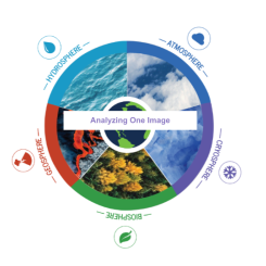
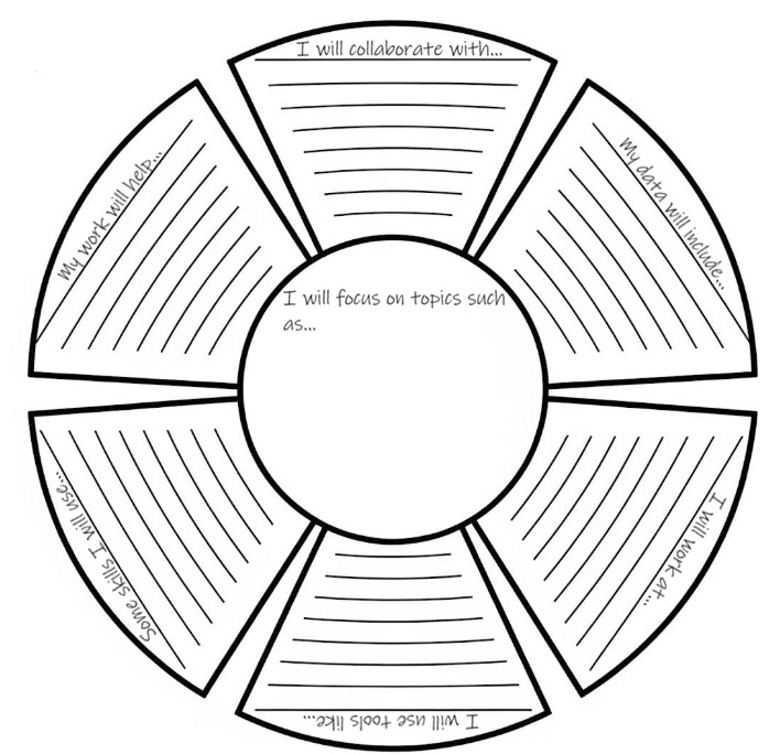
Many of your current activities are already preparing you for a very bright future. If you want to help farmers, or you are interested in agriculture, or you want to help ensure everyone has access to food, or you are interested in any other remote sensing application, you are practicing many skills that will help you succeed as a Remote Sensing Scientist! Feel free to use the diagram below to envision your Remote Sensing Science career:
Answer Key
Teachers who are interested in receiving the answer key, please complete the Teacher Key Request and Verification Form. We verify that requestors are teachers prior to sending access to the answer keys as we’ve had many students try to pass as teachers to gain access.